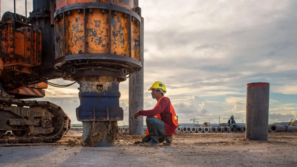
Peoria’s development along the Illinois River terrace has always been shaped by its geology: deep alluvial deposits overlie Pennsylvanian bedrock, creating a soil column that can amplify ground motion far more than engineers expect. The city’s downtown core sits on glacial outwash and post-glacial lake sediments, while neighborhoods further from the river transition into loess-mantled till—a contrast that makes generalized seismic assumptions risky. For projects subject to IBC Chapter 16 and ASCE 7 requirements, we run active-source MASW surveys to measure VS30 shear wave velocity directly, eliminating the guesswork from site classification. Our field crew has worked across Peoria’s warehouse district, medical campus expansions, and hillside subdivisions where the bedrock depth varies enough to shift a site from Class C to Class D. When the subsurface profile demands more than a velocity model, we pair the MASW survey with seismic refraction tomography to map the bedrock interface precisely, and supplement with SPT drilling where penetration resistance data is needed for liquefaction screening in saturated sands.
A site’s VS30 value can shift from IBC Class C to Class D across a single city block in Peoria—generalized maps won’t catch it.
Our approach and scope
A recent medical office expansion near the OSF Saint Francis campus illustrated a common Peoria scenario: the geotechnical boreholes showed stiff silt to 18 feet, but the design team needed a VS30 value for the seismic load calculation. We deployed a 24-channel linear spread with 4.5 Hz geophones and a controlled sledgehammer source, collecting high-coherence dispersion curves across a 92-meter line. The inversion produced a shear wave velocity profile that confirmed a 1,180 ft/s VS30—right on the boundary between Site Class C and D per IBC Table 1613.3.2. That level of resolution matters when the difference affects base shear by 15 to 20 percent. Our processing workflow follows the Kansas Geological Survey SurfSeis methodology, with iterative forward modeling to verify the fundamental-mode dispersion curve. In Peoria’s mixed alluvial settings, we often run a parallel CPT sounding at the array midpoint to calibrate the velocity model against tip resistance and sleeve friction, especially in zones where thin sand layers can produce a velocity inversion that automatic inversion routines miss.
Local geotechnical context
The difference between Peoria’s downtown riverfront and the East Bluff neighborhood captures why VS30 testing is non-negotiable here. Downtown, 35 to 55 feet of loose to medium-dense alluvial sand and silt overlies shale at depths that produce VS30 values typically in the 900–1,200 ft/s range. The East Bluff, sitting on weathered till with bedrock within 10 to 15 feet of grade, can yield VS30 above 1,400 ft/s. A developer who assumes a uniform Site Class D across both areas is either overdesigning the East Bluff foundation or—worse—underestimating the seismic demand downtown. We saw this firsthand on a multi-building industrial redevelopment where the initial desktop classification was overturned by the field data, saving the owner from a costly shear wall redesign. The Illinois State Geological Survey’s STATEMAP surficial geology sheets for Peoria County show the mapped units, but they cannot substitute for measured velocity when the IBC specifically requires site-specific data for structures in Seismic Design Category C and above.
Quick answers
What does a MASW survey cost for a typical commercial lot in Peoria?
For a standard commercial lot in the Peoria area, a MASW survey with IBC site classification typically runs between US$1,920 and US$2,910, depending on array length, number of spreads, and whether we need to combine it with a CPT or refraction line for calibration. Sites with limited access or heavy surface cover may require additional mobilization time.
How long does it take to get VS30 results after the field test?
Field acquisition for a single MASW spread takes about 90 minutes on an accessible site. Processing and inversion—phase velocity picking, dispersion curve modeling, and 1D shear wave velocity profile generation—is typically completed within three business days. The stamped report with IBC site classification follows within five working days. Expedited turnaround is available when foundation design timelines are tight.
Can MASW replace borings for site classification under the IBC?
MASW can replace borings for the VS30 measurement and IBC site classification when the goal is purely seismic velocity profiling. However, borings are still required for bearing capacity evaluation, soil gradation, and groundwater observation. Our most efficient Peoria projects combine one deep boring with a MASW spread to cover both the geotechnical and seismic requirements in a single mobilization window.